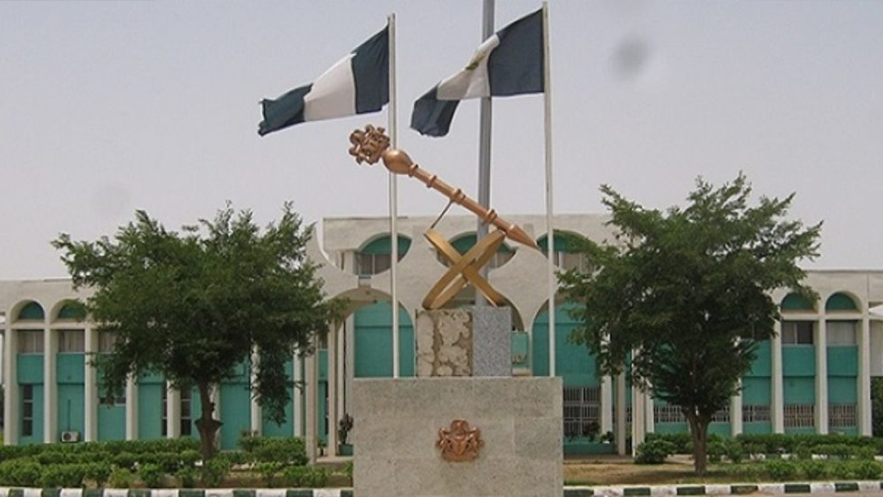
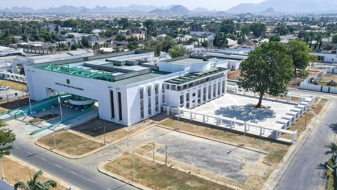
Koton Karfe LGA, Kogi State

Kogi local government area, with its headquarters in the town of Koton Karfe. Geographically, Kogi LGA is boarded by Niger State and the Niger River in the west, the FCT in the north, Nassarawa State in the east and the Benue River to its confluence with the Niger in the south.  It covers an area of 1,492 km², with a population of 115,100 as of the 2006 census, projected to rise to 155,100 in 2022 with a density of 103.9/km². The postal code for Kogi LGA is 260 with its coordinates at 8°06′N 6°48′E.

Cumulative FAAC Allocation (1999 - 2026)
NGN 52,267,276,738.22
FISCAL MONTH
NET ALLOCATION
VARIANCE
February 2026
NGN 572,265,094.61
-7.1%
January 2026
NGN 616,139,525.11
-5.4%
December 2025
NGN 651,459,696.07
+8.7%
November 2025
NGN 599,104,514.34
-10.1%
October 2025
NGN 666,200,892.23
-1.0%
September 2025
NGN 672,767,930.33
+2.1%

Get Information about Koton Karfe LGA

Resources